Description
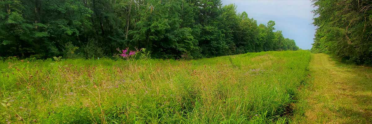
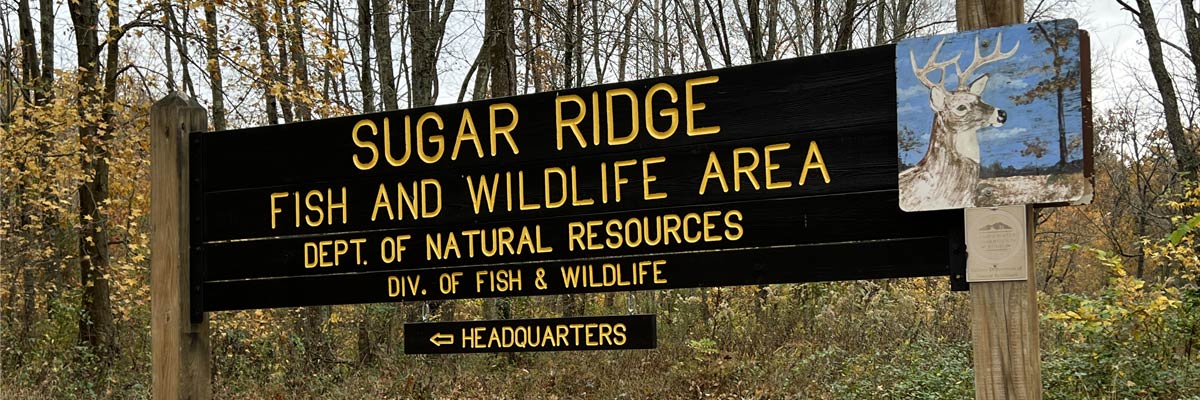
Sugar Ridge FWA provides quality hunting, fishing, and wildlife watching opportunities. The property is made up of six separate areas, totaling approximately 8,500 acres. The strip-mined land now features around 100 pits and lakes, along with rows of overburden from the mining operation. The land that has not been mined remains mostly rough and rolling.
A large part of Sugar Ridge FWA’s land (Areas 1, 2 and 3) was once leased from Amax Coal Company. The leasing began in 1964 and continued until 1980 when most of the land was donated to the Division of Fish & Wildlife. Currently, only Area 6 is still leased through Gray Farms, Inc.
Most revenues used in land acquisition, development, operation, and maintenance of Sugar Ridge FWA are derived from the sale of hunting, fishing, and trapping licenses. Funds are also received from the federal Pittman-Robertson and Dingell-Johnson programs to aid fish and wildlife restoration. These funds are derived from taxes levied on sport hunting, shooting, and fishing equipment. Indiana hunters and anglers are proud to provide this property for the enjoyment of all people.
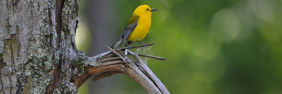
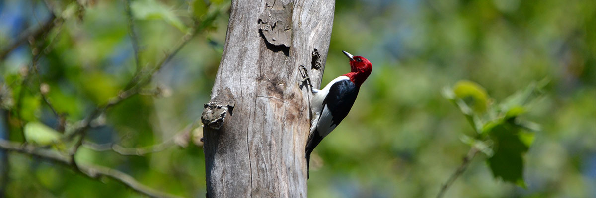
Fishing, hunting, trapping, wildlife watching and birding, and using the shooting range are the most popular activities.
- Amenities
- A portable toilet is available at the shooting range. Open 24/7.
- A modern public restroom is located at the headquarters. Open 24/7.
Popular activities
All hunters, range users, and dog runners are required to sign in and obtain the appropriate one-day access permit before entering the field at this property. The one-day permit card must be completed and returned to a self-service booth, drop box, or property office before you leave.
All other visitors are encouraged to obtain a miscellaneous one-day access permit before entering the field. The one-day access permit should be kept with you while visiting, then completed and returned to a self-service booth, drop box, or the office before you leave. The information you provide will help us identify ways to improve Indiana’s FWAs for all users. We appreciate your patience in taking the extra time to complete the permit. Your feedback and comments are valuable to us.
More activities
Other properties managed by this office
- Blue Grass Fish & Wildlife Area (FWA) is a unique natural resource area comprising land that was once strip-mined. The property covers approximately 2,532 acres and features 28 pits and lakes, with around 600 acres of water. Blue Grass provides hunting, fishing and wildlife watching opportunities.
- Little Pigeon Creek Wetland Conservation Area (WCA) offers a vast array of different habitat types and hunting opportunities. The property is divided into five different units totaling just over 1,900 acres of hardwood, bottomland, marshland, and early successional habitat. Units 1 and 2 are just west of Lincoln State Park near Gentryville. Units 3 and 4 are southeast of Tennyson and are divided by S.R. 62. Unit 4 also shares a border with Bloomfield Barrens Nature Preserve to the south. Unit 5 is isolated from the other units and is near the Kentucky border. It is just northwest of Hatfield and is divided almost in half by S.R. 66. Deer, turkey, small game, furbearers, and waterfowl can be found on Little Pigeon Creek WCA. Each unit has a portion of Little Pigeon Creek running through it. Hunting, fishing, and trapping are permitted. Most funds used in land acquisition were derived from the sale of hunting, fishing, and trapping licenses.
- Lost Hill Wetland Conservation Area (WCA) is mostly bottomland hardwoods and emergent wetlands. It is in the northern portion of Warrick County with a parking lot on the south side of S. R. 68 and is divided by Pigeon Creek. This property offers bank fishing on the creek, trapping of furbearers, waterfowl hunting in the wetlands, and deer and small game hunting in the hardwoods. Of the 357 acres, 40 were donated by Peabody Coal Corporation in 1989. The rest of the property was bought over the years using money from federal duck stamp purchases.
- Straight Line Slough Wildlife Management Area (WMA) is a unique mix of early successional floodplain habitat and old forest. Located in northern Pike County, this 179-acre parcel borders the East Fork of the White River. The property is named after the old Straight Line Railroad bed that runs through it. Before Indiana Department of Transportation (INDOT) bought this property for I-69 mitigation, it was mostly farmland. Because this property was transferred to the DNR from INDOT, there is a strict limit to management that can be done; however, there is an abundance of white-tailed deer, gray and fox squirrels, turkey, cottontail rabbit, and more. Hunting, fishing, and trapping are permitted.
- Tern Bar Slough Wildlife Diversity Conservation Area (WDCA) has a vast array of wildlife species supported by 800 acres of upland and early successional habitat and is on the western side of Gibson County within 4 miles of the Wabash River. It borders Cane Ridge Wildlife Management Area (managed by Patoka River National Wildlife Refuge) as well as Gibson Lake (owned by Duke Energy). Due to all the water and wetland habitat nearby, the property gets a lot of traffic from migrating waterfowl and shorebirds, making it a unique stop on the Indiana Birding Trail. This property was originally bought and managed for the purpose of helping recover the least tern. Current use of the property includes but is not limited to nature walks, birdwatching, trapping, and hunting (deer only). All users who wish to hunt deer or trap furbearers must secure a permit by attending an in-person draw at Sugar Ridge FWA.
- General Fish & Wildlife rules and regulations apply, including the restriction of harvesting antlerless deer with a firearm during firearms season. A list of all Fish & Wildlife property rules can be found on the Indiana Fish & Wildlife Area Rules webpage.
- Dog training is not allowed on the above properties; dogs can only be used for active pursuit of game.
- To learn more about the location and types of activity on these properties, view the Where to Hunt map.

