NHD
The National Hydrography Dataset (NHD) is the surface water component of The National Map. The NHD is a digital vector dataset used by geographic information systems (GIS). It contains features such as lakes, ponds, streams, rivers, canals, dams and streamgages. These data are designed to be used in general mapping and in the analysis of surface-water systems.
In mapping, the NHD is used with other data themes such as elevation, boundaries, and transportation to produce general reference maps. The NHD is often used by scientists using Geographic Information Systems (GIS). GIS technologies take advantage of a rich set of attributes imbedded in the NHD to generate specialized information. These analyses are possible because the NHD contains a flow network that allows for tracing water downstream or upstream. It also uses an addressing system based on reach codes and linear referencing to link specific information about the water such as water discharge rates, water quality, and fish population. Using basic NHD features like flow network, linked information, and other characteristics, it is possible to study cause and effect relationships, such as how a source of poor water quality upstream might affect a fish population downstream.
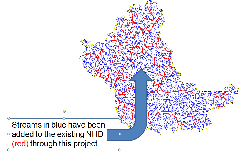
Indiana Project
Indiana is currently improving the accuracy and density of our NHD. Watersheds are submitted to the USGS as the final step of the improvement process. These data can be obtained at http://nhd.usgs.gov/data.html.
Purpose:
To improve the accuracy and level of detail of the data about the surface waters in Indiana