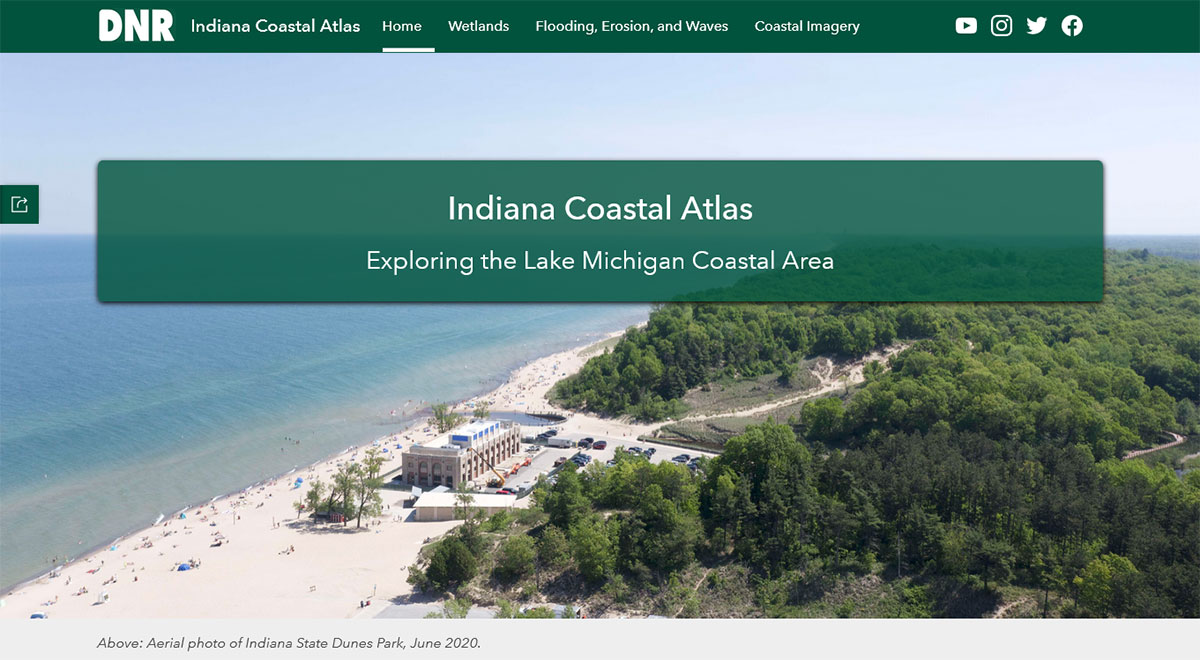
The Indiana Coastal Atlas provides Indiana’s Lake Michigan coastal communities with a one-stop shop for information about coastal resources. The online tool uses interactive maps, pictures, and informational text to tell the story of the Lake Michigan coastal area. The Indiana Coastal Atlas was developed by the Indiana DNR’s Lake Michigan Coastal Program (LMCP), in partnership with the Indiana Geographic Information Office (IGIO). The project was funded in part by the National Oceanic and Atmospheric Administration (NOAA) Office of Coastal Management.
Language Translation

