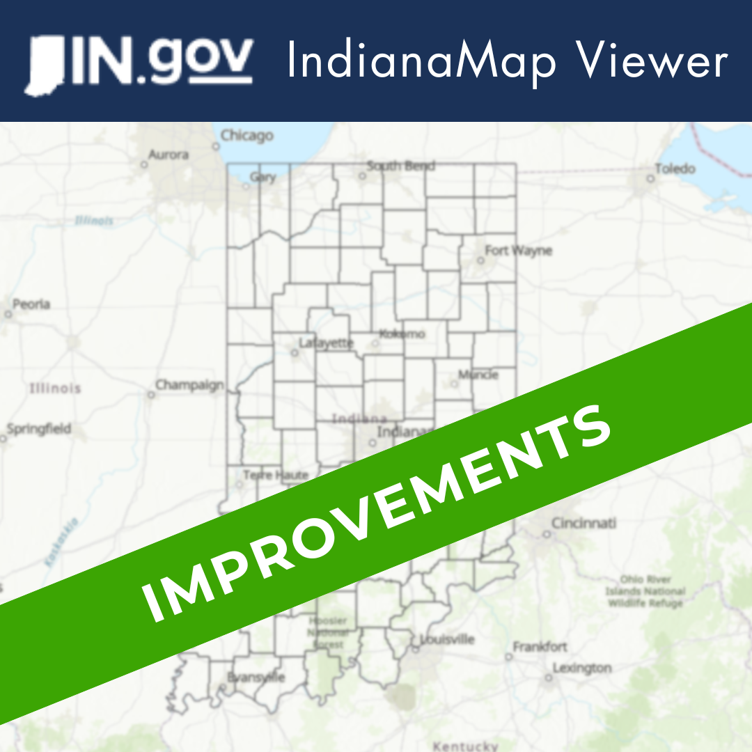
IndianaMap: Map Viewer Enhancements
IndianaMap: Map Viewer Enhancements
Over the past year, the Indiana Geographic Information Office (IGIO) has been dedicated to advancing the Map Viewer available on the IndianaMap website. Here, we will share an overview of the Map Viewer, highlight recent updates, and provide users with additional resources for utilizing IndianaMap data and tools.
Overview of the Map Viewer
The IndianaMap Map Viewer is a web application built on the Esri Experience Builder Platform. It combines custom-built widgets and functionalities to enhance the user experience. With the Map Viewer, users can explore all datasets available in the open data area of IndianaMap, access external data hosted in web feature service (WFS) formats, draw custom shapes on the map, measure distance and areas, and export map layouts to PDFs for documentation and sharing.
Implemented Changes and Enhancements
The updates to the Map Viewer are categorized into Data Accessibility Improvements and Map Interactivity Improvements. Here are the key enhancements:
Data Accessibility Improvements
- Data Gallery Search Engine Integration: Users can now search for datasets from the IndianaMap data gallery using a new search engine, allowing them to explore data without switching away from their current Map Viewer project.
- Added Map Services to the Map: Users can add data to a Map Viewer project by copying the REST service endpoint URL for the data set of interest.
- "All" Button for Browsing Data: The new "All" button lets users apply search terms to an entire data gallery, rather than just searching within a specific data type.
- Enabled Vector Tile Services for Basemap Options: The Map Viewer now supports adding Vector Tile Services for basemap options, enhancing the visual experience and data integration capabilities.
Map Interactivity Improvements
- Annotation Section in Draw Tools: The addition of an annotation section allows users to annotate the map with custom labels and symbols, draw points, lines, and polygons, and select features within a given area.
- Coordinate Picker Tool: This new tool enables users to find coordinates in various formats simply by clicking on the map at the area of interest.
- Improved Pop-Up Customization Options: Enhancements to pop-up settings allow for more specific customization using the Arcade programming language, providing users with greater flexibility and control.
Feedback, Conclusion, Additional Resources
The IGIO encourages users to try out the new Map Viewer and provide feedback. You can find the Map Viewer on the IndianaMap website at https://www.indianamap.org/.
We are committed to continuous improvement and user satisfaction, aiming to provide quality geospatial tools, services, and information. By implementing these improvements and receiving user feedback, we strive to enhance our platform and our services over time.
For additional information and resources on utilizing IndianaMap tools and data, please visit the "IndianaMap FAQs & Guides" section of the IndianaMap website. Additionally, you can reach IGIO IndianaMap staff via email at indianamapsupport@iot.in.gov or follow the "Contact Us" link on the IndianaMap website.