Project Spotlight: Utilizing IndianaMap for Source Water Protection
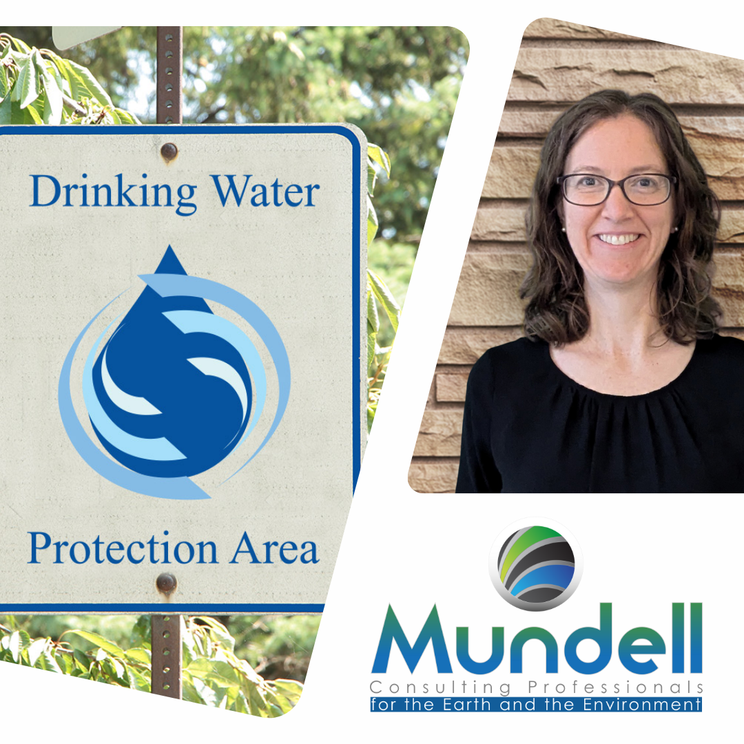
Julie Reyes, Mundell & Associates
This month, the Indiana Geographic Information Office (IGIO) is thrilled to highlight the innovative work of Julie Reyes, a Data Scientist and website manager at Mundell & Associates, Inc. Based in Indianapolis, Mundell & Associates is an earth and environmental consulting firm committed to sustainable solutions. Julie, who holds a degree in Pharmaceutical Science from Purdue University, leads ArcGIS Online app development and field data collection. Her expertise spans over 15 years of designing and developing websites for both scientific and community-focused projects. When not immersed in data, Julie enjoys hiking, reading, and playing basketball with her kids.
Project Inception and Goals
Mundell & Associates, under contract with the Marion County Wellfield Education Corporation (MCWEC), supports local water utilities in safeguarding drinking water. To comply with regulatory requirements, drinking water providers must inventory potential contaminants near their water wells. Previously, environmental data was sourced from multiple locations annually and compiled into a static report. To modernize this process, MCWEC transitioned to a dynamic system using ArcGIS Online applications, leveraging data from IndianaMap for real-time updates. A full StoryMap detailing this project can be found here.
Methods and Innovations
Julie and her team developed several applications to present live data within specific geographic regions without the need for local storage. They ensured stakeholders could download regional data for reporting to the Indiana Department of Environmental Management (IDEM). The suite includes:
- Interactive Web Application: Allows users to view and investigate data on a map.
- Dashboard: Provides summary trends and insights using ArcGIS Online Data Pipelines.
- Environmental Solutions Section: Enables users to create regional data downloads with ESRI’s free tools.
MCWEC created a 3-part Experience Builder app for stakeholders to explore and understand the data. In addition to consuming data from IndianaMap, MCWEC collects business data during a yearly drive survey using basic Field Maps forms setup with drive route layers, making it easy to identify historic businesses at a glance.
Public Outreach
Julie also emphasized the importance of public engagement in protecting drinking water sources. ArcGIS Online tools are used to help the public understand where and how to protect drinking water sources. For example:
- Zone Lookup Instant App: Embedded on the MCWEC website and used at tabling events to help the public identify if they are in a wellfield.
- StoryMap: Used for reporting yearly activities of MCWEC, providing a transparent and engaging way to communicate with the community.
Impact and Insights
The project underscored the robust capabilities of ArcGIS Online in meeting drinking water protection needs without requiring an Enterprise system or local data management. IndianaMap’s easily accessible data, provided by the Indiana Department of Environmental Management and the Department of Natural Resources, played a crucial role. The platform’s flexibility allows anyone to create a free account and access a comprehensive set of geoprocessing tools and applications.
Takeaways
There is much we can do to protect our drinking water with just IndianaMap and ArcGIS Online tools. By leveraging these resources, local water utilities can efficiently manage and protect their drinking water sources.
Explore More
For more information about the Marion County Wellfield Education Corporation (MCWEC) and Mundell & Associates, visit their websites:
