Language Translation
  Close Menu

Crash Scene Mapping

Drone mapping billboard

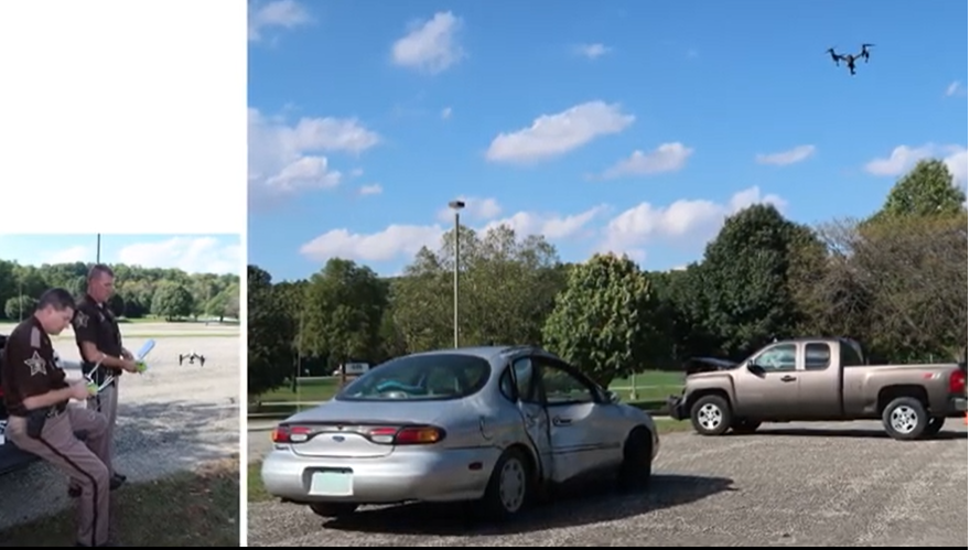
The Unmanned Aerial Systems (UAS)-Based Crash Scene Mapping workshop provides information about crash scene marking, mission planning, hands-on flight exercises, and an overview of the Purdue UAS Data Processing Center funded by the Indiana Criminal Justice Institute. This workshop demonstrates techniques and field procedures to accurately and efficiently document crash scenes using photogrammetry from UAS.

The Tippecanoe County Sheriff's Office provided a testimonial about the UAS Based Crash Scene Mapping program. They are an early adopter of the program and have been using drones for crash scene documentation since 2018. Captain Robert Hainje says it takes deputies about 10 minutes to program the flight and 20 minutes to capture images

During a typical flight, deputies capture as many as 300 images which they can use to take measurements and provide investigators with details to complete their investigations.

Deputies map a crash scene

Course Dates and Schedule

No workshops are currently scheduled for the UAS Crash Scene Mapping program. Check back for dates and sign-up information.

 Top FAQs