Regional Maps
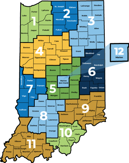
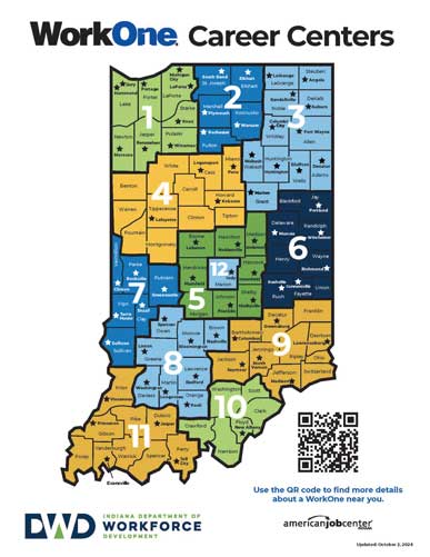
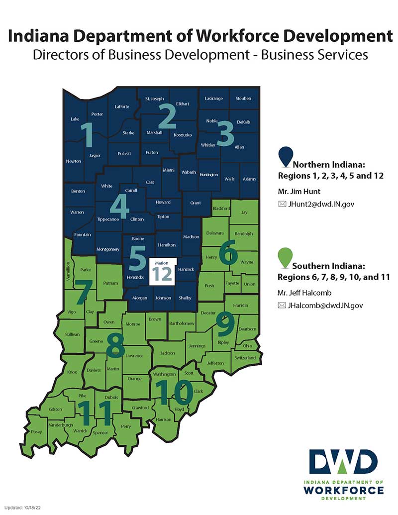
DWD produces the color-coded maps below to help Hoosiers understand what counties comprise our Economic Growth Regions (EGRs), find our current WorkOne locations, and contact information for certain divisions within DWD.
NOTE: For the best print quality, download the maps and print them using Adobe Acrobat.


